View
Date: 02/14/2014
Presented by: Harlan Pruden
Presented by: Renee Wells
Institution: Smithsonian National Museum of African American History & Culture
Recommended by: Anonymous
Summary: "Talking about race, although hard, is necessary. We are here to provide tools and
guidance to empower your journey and inspire conversation."

UAF Alaska Native Language Center
Summary: "The Alaska Native Language Center was established by in 1972 as a center for research and documentation of the twenty Native languages
of Alaska. It is internationally known and recognized as the major center in the United
States for the study of Eskimo and Northern Athabascan languages. The mission of the
Alaska Native Language Center and Program is to cultivate and promote Alaska’s twenty Native languages." Learn more about the history, significance, and pronunciation of Troth Yeddha'.

Summary: Alaska Native Languages is an "educational resource for learning, teaching and promoting
Alaska Native languages." This website is a resource hub for the 20 Indigenous languages
found in the region that is now called Alaska and contains fonts, pronunciation guides,
apps, links to additional resources, and other tools that can assist with learning
or familiarizing yourself with these languages.

Summary: Native Land is an interactive map created by the Canadian non-profit Native Land Digital.
This resource seeks to "map Indigenous territories, treaties, and languages across
the world in a way that goes beyond colonial ways of thinking in order to better represent
how Indigenous people want to see themselves." Native Land is a great place start
learning about whose land you're on and can assist you in crafting a land acknowledgment!

Presented by: eHistory
Summary: "Between 1776 and 1887, the United States seized over 1.5 billion acres from America's
indigenous people by treaty and executive order. Explore how in this interactive map
of every Native American land cession during that period."

Presented by: Digital Branch of the ÌÀÄ·ÊÓƵ Oral History Program
Summary: "Project Jukebox is the digital branch of the Oral History Program and provides access
to audio and video recordings, transcripts, maps, historic photographs and films from
across Alaska."
Summary: "Throughout 2020, Rasmuson Foundation gathered with Alaska Black leaders to discuss
critical issues and how the Foundation could be a better partner to the Black community
in Alaska. Through these conversations, a need for more positive media on and told
by Black Alaskans was highlighted. The Foundation is glad to support the rollout of
Black in Alaska, a multimedia project with interviews, photos and short videos of
50 Alaskans who are Black. Participants are from all over the state and represent
diverse backgrounds in age, gender and socioeconomic status. Through storytelling,
this project aims to dismantle stereotypes and create a deeper connection between
the Black community and fellow Alaskans. Stories, photos and other media will live
on Black in Alaska’s website, and be shared on and ."

Summary: Learn about the history and significance of Juneteenth, the "oldest nationally celebrated
commemoration of the ending of slavery in the United States."

Institution: Smithsonian National Museum of African American History & Culture
Summary: "Juneteenth is a time to gather with family and community, honor the present and reflect
on shared history and tradition. Discover the tastes, sounds and experiences of this
African American cultural tradition."

Institution: Anchorage Museum
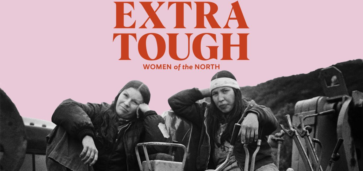
Summary: "Alaska and the Circumpolar North have been shaped for centuries by Indigenous women’s
creativity, labor and love. With colonization and the arrival of Western cultures,
the North became seen as a masculine testing ground, a place to be explored, exploited
and developed. Artists, mothers, scientists and makers included in this exhibition
confront and dismantle this myth, testifying to the vital role that both Indigenous
and newcomer women have held, and continue to hold, in Northern communities.
From ceremony to social critique, the artworks, historical objects and archival images on view capture and communicate their makers' experiences of landscape and place, gender roles and social norms, work and childrearing. In a North being shaped at unprecedented rates by the forces of climate change and globalization, women’s voices and visions provide rich ground for imagining a future guided by principles of gender equity, sustainability and strength. Extra Tough upholds and celebrates the stories and perspectives of Northern women. It also examines the traditional and non-traditional roles and contributions of women throughout Alaska’s history."

Summary: "The HistoryMakers is a national 501(c)(3) non-profit research and educational institution
committed to preserving and making widely accessible the untold personal stories of
both well-known and unsung African Americans. Through the media and a series of user-friendly
products, services and events, The HistoryMakers enlightens, entertains and educates
the public, helping to refashion a more inclusive record of American history."

Summary: "The GLBT Historical Society collects, preserves, exhibits and makes accessible to
the public materials and knowledge to support and promote understanding of LGBTQ history,
culture and arts in all their diversity."

Summary: "Mapping the Gay Guides aims to understand often ignored queer geographies using the
Damron Address Books, an early but longstanding travel guide aimed at gay men since
the early 1960s. Similar in function to the green books used by African Americans
during the Jim Crow era to help identify businesses that catered to black clients
in the South, the Damron Guides aided a generation of queer people to identity sites
of community, pleasure, and politics. By associating geographical coordinates with
each location mentioned within the Damron Guides, MGG provides an interface for visualizing
the growth of queer spaces between 1965 and 1980."


